A forest with a winding road

Everything in one place

Your source of Geoservices

Explore our products

  • Most up-to-date regional data

    Most up-to-date regional data

  • Easy integration

    Easy integration

  • Built-in reporting tool

    Built-in reporting tool

  • 24/7 technical support

    24/7 technical support

maps.png

Products

Maps

Integrate good-looking and accurate basemaps to your applications with ease. Want to use quarterly updated map data from the strongest vendors in the region? Try the Maps!

  • Coloured basemap
  • Grayscale basemap

Read more

locations.png

Products

Locations

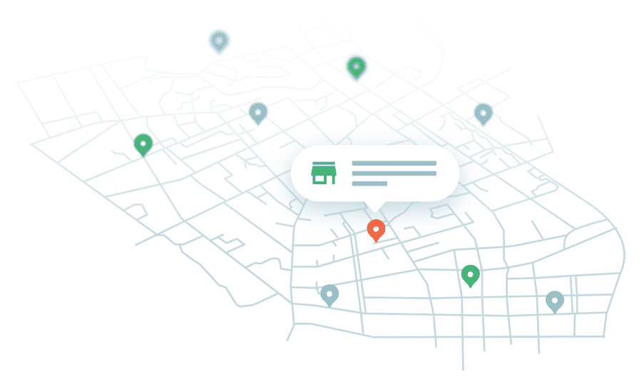
“Location, location, location”. Need the most accurate address data? Looking for easy-to-use services? Want to give your customers more value by helping them find the nearest restaurant? Check out Locations!

  • Geocoder
  • Reverse geocoder
  • Address components
  • POIs

Read more

directions.png

Products

Directions

Want to find the best way to get from A to B? What’s the optimal route to visit all your customers? Directions is here to help.

  • Routing
  • Travelling Salesman Problem (TSP)

Read more

Aerial view of an old town

Service demo

How does it work?

All our services are meticulously documented and tested. We encourage you to go through all the manuals and explore demos, but we are also open to help you out if any questions or complications should arise while integrating our products.

Go to dev docs

Frequently asked questions

We don't want to leave you with uncertainties. Here is a thorough list of frequently asked questions that might be of help.

Go to FAQ

  • How to join GeoDataHub?
  • What kind of services are available?
  • How to use the services?
  • Do I get an overview of my usage statistics?
  • How much does it cost?
  • Can I try and test the services for free?